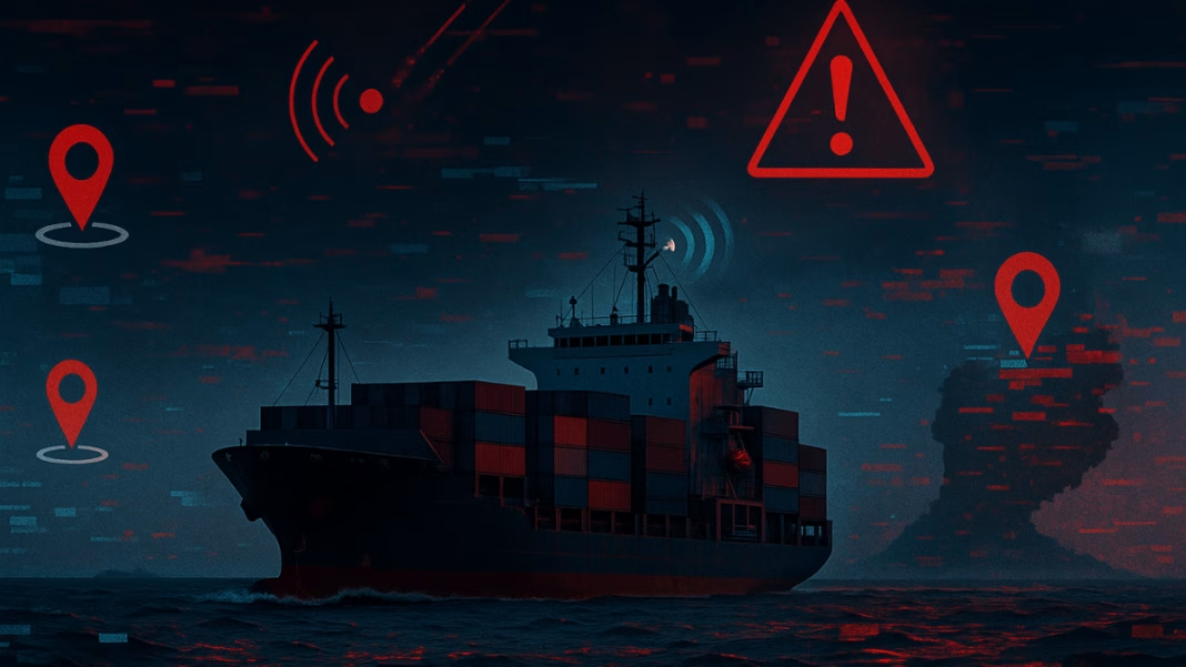
Ships sailing near the Red Sea are facing a new kind of danger. It’s not from storms or pirates—but from the invisible world of radio signals. Known as radio frequency (RF) cyber-attacks, these incidents are now happening more often.
Many of these attacks are being blamed on the Houthi rebels operating near Yemen. They are reportedly using signal-jamming and GPS spoofing to confuse ships. This means that ships can suddenly appear to be moving at super-fast speeds or even show up on land instead of at sea. Some vessels have even been seen circling certain spots repeatedly—usually close to areas where armed groups are active.
This type of attack is more than just confusing—it’s dangerous. It takes away a ship’s ability to know where it is, how fast it’s going, or even how to send out emergency distress messages. This leaves ship crews feeling helpless, and it puts both cargo and lives at risk.
Distress Signals and Navigation Systems Getting Hit
The systems that help ships send distress alerts—known as GMDSS (Global Maritime Distress and Safety System)—are also being affected. Without these systems working correctly, a ship in trouble might not be able to call for help.
💻 Digital Espionage Crisis—China-Linked Hackers Slip Past Microsoft Defenses, Steal Encryption Keys
Marlink, a company that provides ship communication services, says the number of ships reporting problems has skyrocketed. In the past, they might get one or two calls every two weeks. But now, they are hearing from more than 150 vessels in just one day.
Satellite signals that ships depend on are part of the problem. These signals come from very far away—so far that by the time they reach a ship, they are already weak. This makes them easy targets for people trying to block or fake them.
Even new satellites, like those from Starlink and Inmarsat, rely on GPS to work properly. If that GPS data is wrong, the entire system can become unreliable.
How Ships Are Trying to Stay Safe
Modern ships often use several systems to track their location. They switch between GPS, Glonass, Galileo, and Beidou satellites. But during an attack, even these systems can get confused. One solution is to double-check data from one satellite system with another, to spot anything unusual.
Marlink advises against shutting down all systems during an attack. That might seem like a smart move, but it doesn’t help much. If a fake GPS signal is already being used, turning everything off won’t fix the issue. In fact, the fake signal usually comes from an area where real satellite signals can’t reach, making it even harder to recover.
Satellite antennas on ships always try to connect with the strongest signal nearby. When that strong signal is coming from land instead of space, it can trick the ship into broadcasting the wrong position.
To fight back, Marlink is working on new technology that can tell whether a signal comes from the sky or from the ground. This helps ship crews and operators decide which signals to trust.
By carefully watching ship locations and tracking strange behavior—like ships moving too fast or appearing inland—engineers can block fake signals and make sure only essential satellite connections are used.


