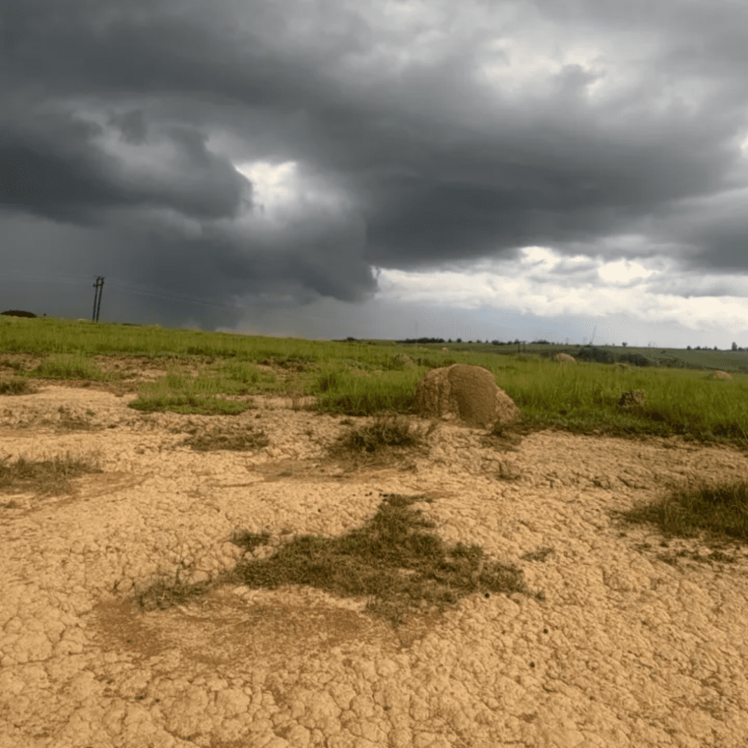
Scientists have made an incredible discovery in South Africa: the land is slowly rising due to water loss, and it’s not because of earthquakes or volcanoes. Instead, this strange movement is happening because of something we all know is happening—climate change
In some parts of South Africa, the ground is rising by about two millimetres every year. While it doesn’t sound like much, this gradual lift is a sign that something is changing under our feet. For a long time, scientists thought the rising land was caused by deep forces under the Earth’s surface, like hot pockets of rock pushing the ground up. But now, new research is showing that the real reason the land is lifting may be much more connected to our environment than we thought.
The answer lies in water. Or rather, the lack of it.
How Water Loss is Changing the Earth
When we think about climate change, we usually imagine hotter temperatures, melting ice caps, and wildfires. But there’s something else happening: the loss of water from the land. As droughts continue and rainfall becomes less predictable, more and more water is disappearing from the Earth’s surface.
This water loss affects not only the plants, animals, and people living in affected areas but also the land itself. Imagine pressing a sponge to squeeze out the water inside it. When you stop pressing, the sponge begins to return to its original shape. The land behaves in a similar way. As the water, especially underground water, vanishes from the surface, the land slowly begins to rise again, just like a sponge expanding after being squeezed.
Massive Increase in Hot-to-Cold Temperature Flips Threatens Stability
The researchers used data from satellites and other tools to show that this land rise is linked directly to drought conditions. In areas where water levels dropped, such as in the soil or underground reserves, the ground began to rise. This wasn’t a one-time thing; the pattern held up over many years, showing a clear connection between droughts and land movement.
Tracking the Change with GPS and Satellites
To uncover this mystery, scientists turned to a network of GPS stations set up across South Africa. These stations, which were originally built to help with land surveys, have been collecting data about land movement for over 20 years. These measurements show how the Earth’s surface has been shifting, and researchers noticed something unusual.
From 2012 to 2020, GPS data showed land rising in drought-hit South Africa, while satellites confirmed water was vanishing.
US and African Defense Chiefs in Historic Botswana Conference
The data from these satellites and GPS stations matched perfectly. In areas where the land was lifting, there was a noticeable loss of water. The land seemed to rise as the water below it disappeared, almost as if the Earth was reacting to the loss of weight.
>By using water flow models and data, scientists confirmed that drought and water loss, not deep Earth movements, are lifting the land. This gives them a new way to track climate change’s hidden effects.
A New Way to Measure Loss
This discovery has opened up a new way for scientists to track losses across the world.
GPS stations now track land rise during droughts, helping predict water shortages and giving communities time to respond.
For example, in Cape Town, the city faced a severe drought from 2015 to 2019, which led to a major crisis. The ability to track land movement through GPS could have helped authorities prepare for the crisis sooner.


