A New Satellite in the Sky
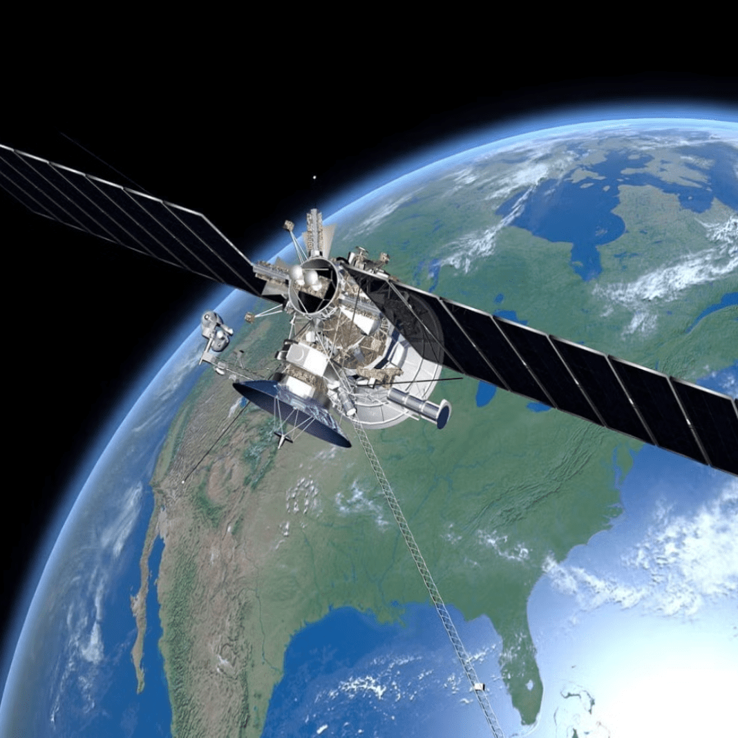
A powerful new satellite developed entirely in the UK is preparing to make history. Named “Biomass”, it will soon become the first satellite in the world to map Earth’s forests in full 3D from space. This groundbreaking technology will allow scientists to measure the actual health and thickness of forests like never before.
Unlike other satellites that can only see the top of the forest canopy, Biomass uses a special radar system that can see deep into the trees—even through clouds. Experts will use this to measure how much carbon forests store and how much they lose as trees are cut down. Understanding these changes is key to tackling climate change, as forests both soak up and release carbon dioxide, one of the main gases causing global warming.
Biomass is designed to scan tropical forests, which are often hard to reach and covered in thick clouds. Over the next five years, it will create a full 3D map of these forests and then continue updating simpler maps every nine months. This will provide regular updates on how forests are changing and how much carbon they hold, giving scientists the clearest picture yet of our planet’s green lungs.
British Innovation at Its Best
This mission is not just a scientific breakthrough—it’s a major win for British innovation and industry. From idea to launch, everything about Biomass was done in the UK. Built in Stevenage by a team of engineers and experts, the satellite is a result of years of research and development in British universities and space companies.
The Climate Change Risk Birds Face Despite Big Brains
The satellite’s development at Airbus UK supported 250 skilled jobs and involved over 50 companies worldwide, showcasing the UK’s £19 billion space sector and its 52,000-strong workforce.
The satellite is part of a mission by the European Space Agency, and the UK has won nearly €91 million in contracts for its work on Biomass since 2016. The UK’s membership in this agency has helped bring in important funding and high-tech projects like this one. Biomass is also expected to attract more global investment into the UK’s space industry.
Europe’s space agency will launch the satellite from its spaceport in Kourou, French Guiana, on April 29. People all around the world, especially those working to protect the environment, will closely watch this moment.
Helping the Fight Against Climate Change
The purpose of Biomass goes far beyond just building cool technology. It’s about solving a real problem. Forests play a huge role in keeping the planet healthy. They absorb carbon dioxide from the air and store it in their trunks, branches, and roots. When forests are cut down or damaged, that carbon is released back into the atmosphere, making climate change worse.
Climate Crisis and Global Response September 2024
Right now, there is very little accurate information about how much carbon is in the world’s tropical forests, because they are so hard to reach and study. Biomass will change that. It
The satellite will help scientists observe deforestation hidden by clouds and canopies in the Amazon, Africa, and Southeast Asia.
By measuring these forests in detail, the satellite will help us understand whether forests are growing or shrinking, and how fast. This data is vital for creating better climate models and policies. It will also help track how habitat loss affects animals and biodiversity.
In simple terms, Biomass is like a giant scanner in the sky. It will scan the world’s forests and tell us how they are changing. That information is critical to fighting climate change and protecting nature for future generations.


